Southland Farm Mapping
Local farm mapping expertise for Southland
Southland Farm Mapping started with a straightforward goal: give Southland farmers clear, accurate information they can use on the ground. Too often, mapping data looks good on screen but does not translate cleanly into practical farm decisions.
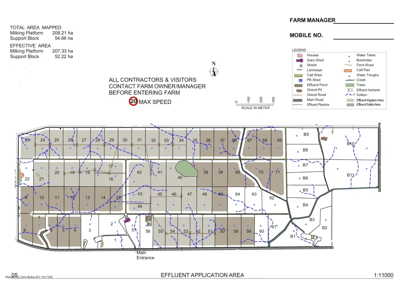
Our work is focused on making that information useful. We combine modern mapping tools with practical surveying experience to turn measurements into plans you can act on, whether you are setting out fencing, improving drainage, or planning infrastructure.
Today, we work alongside local farmers and rural operators to reduce guesswork and make the next step clear. The aim is simple: dependable mapping, practical advice, and confidence that the job is being laid out right from the start.
Start a project
Ready to map your farm?
Tell us what needs to be mapped or marked, and we’ll come back to you with the practical next step.